CCTV News: Recently, a "good news" celebrating the launch of the "Beidou map" and bidding farewell to GPS has been brushed all over Moments, but experts pointed out that,Beidou Map APPandBeidou satellite navigation systemIn fact, there is no direct connection. What does the Beidou map that will be launched in May represent? What impact will it bring to us?
There is no direct connection between Beidou map and Beidou satellite navigation and positioning system
According to reports, the Beidou Map APP is expected to be launched on May 1. Its navigation function can be accurate to within 1 meter, and it can clearly locate specific lanes. In response, Xu Ying, a researcher at the Institute of Optoelectronics of the Chinese Academy of Sciences and a young scientist of the Beidou system, responded that I hope everyone will not be confused by the name. The word Beidou does not represent the Beidou satellite navigation and positioning system. Whether the map software is good or not depends mainly on other factors, and there is no direct relationship with the Beidou satellite navigation and positioning system. Xu Ying also answered the questions that netizens are concerned about.
What is the Beidou system?
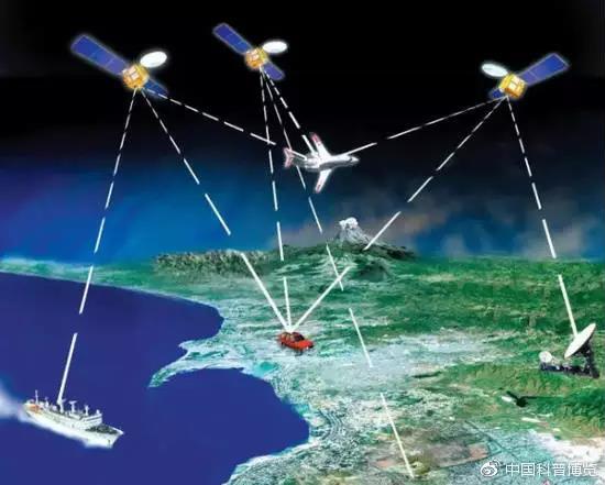
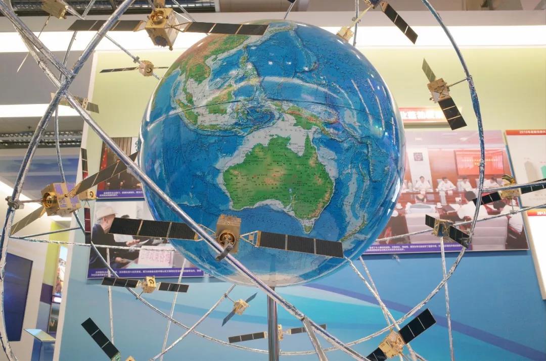
Beidou system is a satellite navigation and positioning system, with the GPS system, GLONASS system and Galileo system, etc. are juxtaposed with the global satellite navigation and positioning system, generally composed of satellites, ground stations and user end points, is the country’s construction of heavy equipment system, these systems are responsible for providing location information, mainly refers to the longitude, latitude and altitude of such three-dimensional information.
Baidu and Autonavi are both mapping software, which mainly provide location-based value-added services, such as displaying location, planning routes, providing congestion conditions, and so on. The core point here is the map, and there are many means of mapping, including remote sensing satellites, map observation vehicles, drone observations, user feedback, and so on.
Can the Beidou system replace Baidu or Autonavi?
The answer is obviously no. The Beidou system is a navigation system, and Baidu or Autonavi can also use the positioning results of the Beidou system to perform position output. The two are not on the same level at all, and there is no substitute.
Can the Beidou system make maps?
The answer is also impossible. The Beidou system can provide very accurate location information for certain points in the map, but it cannot make a map. It has no way to tell you whether the point in front of you is a telephone pole or a road. These require image information and can be partially obtained through remote sensing satellites.
Can the positioning accuracy of the Beidou system reach the centimeter level?
Under static conditions, under relative measurement conditions, the accuracy can be made very, very high. There is no problem at the centimeter level, and the ordinary dynamic accuracy can also be made relatively high. However, for high-dynamic objects, such as high-speed railways, the accuracy will definitely be reduced, and for some occluded objects, it cannot even be located. This is the natural vulnerability of satellite navigation and positioning systems. Satellite navigation and positioning systems around the world are the same.
Can the accuracy of the map reach the centimeter level?
First of all, a lot of high-precision location information is confidential, because there are surveying and mapping regulations, not as high as you want to be accurate, if you don’t care about the cost, it is possible to achieve very high accuracy in some areas, but the general global map is updated to the centimeter level in real time, first of all, it is almost impossible, and there is no such demand, and secondly, the law does not allow it.
What is the relationship between the Beidou Map APP and the Beidou Satellite Navigation System?
From the current news, there is no direct connection. Maybe they just named the map as the Beidou map, just like the Ursa Major map and the Ursa Minor map. Maybe Beidou was used in part of the map to measure several points? This is speculation, and it is currently in doubt. The Beidou map is not equivalent to the Beidou satellite navigation system at all, and there is no direct connection between the Beidou satellite navigation system and the map.
Can I use the Beidou system to locate with the Beidou map APP installed?
The answer is also no. Which satellite navigation system is used for positioning depends mainly on the hardware of the mobile phone. Which navigation and positioning system chip is installed in the mobile phone can be used for positioning. If your mobile phone does not have the hardware to support the Beidou system, then it will not help which APP you download.
At present, in addition to Apple’s iPhone mobile phones, most models of mobile phones of Huawei, O & V, Xiaomi, OnePlus, Meizu, HTC, Nubia and other brands support Beidou positioning.
Do not install the Beidou map APP, install Autonavi or Baidu can use the Beidou system to locate?
The answer is yes, because which system to use for positioning depends mainly on the hardware facilities of the mobile phone. For example, many Huawei models now also support the Beidou system, and there may be more models in the future that support the Beidou system. This has nothing to do with which map software to download on the mobile phone.
The source of this article: Popular Science China WeChat official account, Science Compound WeChat official account